CF20 - Sahagún - El Burgo Ranero - 17,9 km
Itinerary
You will leave Sahagún crossing Puente de Canto, over the river Cea. You will leave Prado de las Lanzas de Carlomagno poplar grove, the football pitch and the camping on your right side. Soon after, you will pass a tunnel under the N-120, following the right road shoulder towards Calzada del Coto. There, you have two possibilities:
a) Entering Calzada del Coto, you can take a beautiful path surrounded by banana trees and goes parallel to the Royal French Way on its left side. This comfortable and practical path continues along 32 km until you arrive at Mansilla de las Mulas. It is specially designed for pilgrims and it has benches and rest areas along the way. Also, it is closed for motor vehicles.
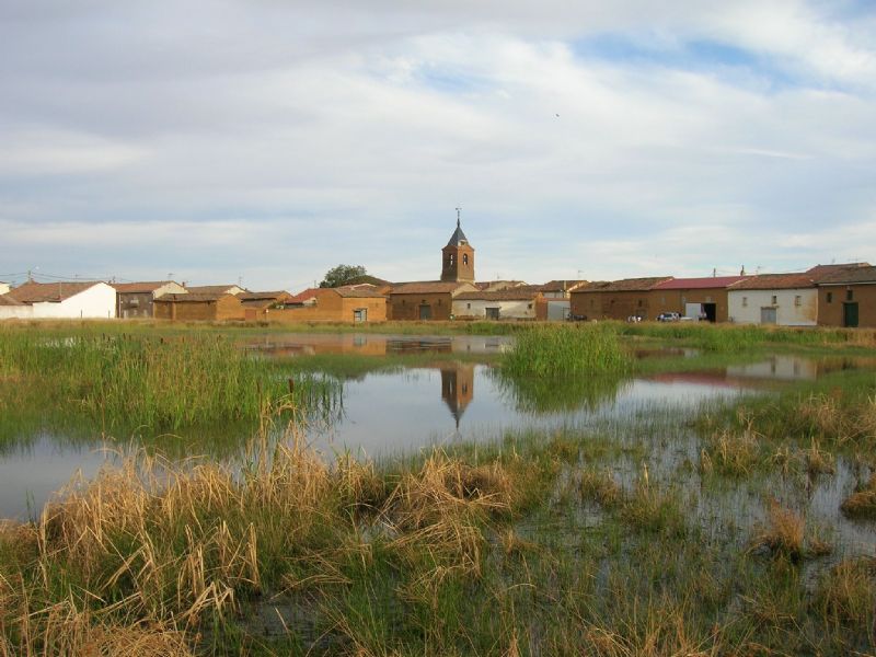
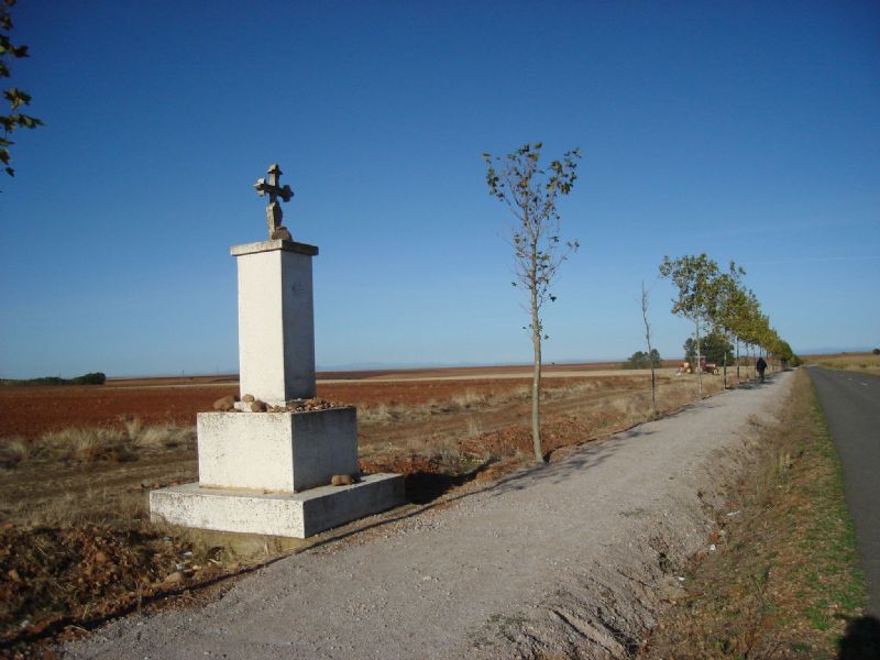
6 km ahead, the pilgrim will enter Bercianos del Real Camino, after leaving on the right some ponds with black poplars, and Virgen de Perales chapel on the left side. You will go through Bercianos via Calle Mayor, which leads to a trough next to the church. Soon you will get back to the path. 7 km after following this path, you will arrive at El Burgo Ranero. Along the way, you will cross Arroyo del Olmo Valley, where you will find a fountain and a rest area. 1 km ahead, there is a milestone and you will have to turn left taking a path towards Las Grañeras.
b) You will arrive at Calzada del Coto and keep going on Calzada de los Peregrinos, over the ancient Trajan road. Less than 2 km away, it will cross Palencia-La Coruña railroad line and soon after you will get to Valdelocajos meadow. Later on, you will go through a valley and you will find the Fountain of the Pilgrim on the right side. After 1 km, you will get to Calzadilla de los Hermanillos, the only village in this area, between Calzada del Coto y Mansilla de las Mulas.
From Calzadilla, you will leave taking an old paved road heading to the intersection with El Burgo Ranero. After crossing the road of El Burgo, you will keep going on the old roman road, parallel to the railroad line (on its right side).
After 6 km, you will get to Villamarco halt and keep going on the road towards Reliegos, and then turning left on a path that goes to the village. Next, you will descend and keep walking for a while, until you get to Cistierna road. You will cross this road, turning left after passing by a residential area, and heading towards Mansilla de las Mulas.
External info sources about this route and recommended websites:
Federación Española de Asociaciones del Camino de Santiago
Very useful guide: Camino de Santiago. National Geographic
If you want to download any route in PDF format, you need to be registered. This is a very easy and free of charge process, and you will also enjoy other advantages.
To download a route in PDF format you must be registered , this is a simple and free process also enjoy other benefits.